
Andrew Lincoln and his business partner James C. Woodbury purchased land together near the Buttes, and in fact the Buttes railroad station on the Denver & Rio Grande line was on Lincoln's land in section 33 of T16SR65W, on the east bank of Fountain Creek. [Today only the station foundation remains along the tracks.] A Feb 2, 1878 Gazette article lists the transfer of their land in sections 32 and 33, and adjacent land to the south, from AG Lincoln to Alice Royce for $2500. However in May 1881 this same land was sold back, from Phineas Royce to Sophie Lincoln, for $3000.

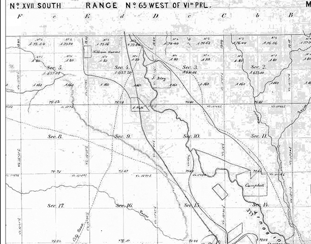
This copy of the 1864 survey map from www.glorecords.blm.gov/ shows the trails in use, with the D&RG railroad line put in in 1872 (the straight line in sections 28 and 33), and land that was claimed prior to the survey by Owns (sic), Geiser and an unnamed party in section 33. There also appears to be a ditch in section 29 across Owns' land.
On the west side of the creek, on Lincoln's land in section 33, is property now know as the Clear Spring Ranch, which is owned by Colorado Springs. Could this have been where the Lincoln Store was? Or would it have been along a stage route/ trail? See the discussion about Ben Requa in the People category.
| Clear Spring Ranch, near I25 exit 124 |


Could these low stone walls, near the location of the old Wigwam school (no longer standing), be the walls of Lincoln Trading Post?
An article in the Gazette in February 1878 notes that Lincoln sold his grocery store in the Springs to A. Yerger of Iowa, but that he continued to work there. Another 1878 Gazette article mentions that Lincoln's house was to be the voting place for residents of El Paso County in the south half of ranges 60 to 65 in Township 16 and ranges 60 to 65 in Township 17. The voting place for Precinct 8, which included the north half of the Township 16 ranges, was at Fountain School.
Andrew Lincoln first appears on the 1860 census in New Jersey as Antoine Lincoln, a 28-year old laborer from Sweden with $2700 in personal property. The Colorado Springs Pioneer Museum lists Andrew as arriving here by 1866. A Rocky Mountain News article from Apr 30, 1869 shows that Lincoln was the Justice of the Peace at a wedding at Woodbury’s. On the 1870 census he lived with James Woodbury near the El Paso post office (towards the county line) and had $13,000 in property! In 1871, Andrew was the Justice of the Peace who accepted the sworn plat of Fountain from Terrell and Hutchin. He lived in the Springs in 1880 with his wife Sophie and children, but after her death he lived on a farm in the Fountain Valley again in 1885, before moving to Seattle by 1892.
Mention was found in the Pueblo County history on the USGen Web archives of the mail route. Pueblo received mail service by Mr. A. Jacobs in the 1860s several times a week on the line between Denver and Trinidad. Jacobs contract was succeeded by Barlow and sanderson, who in 1870 inaugurated a daily service (possibly between Trinidad and Denver- quite the ride) until the Denver & Rio Grande railroad was completed in 1872, making stage service obsolete.
Woodbury was an investor and a county commissioner. His obituary mentions that he served the county for 25 years. He passed away in 1903. His wife was killed in a tragic accident in 1884 (Gazette), when several children were hanging onto the rear of her wagon and dragging their feet. This noise startled her horse, which bolted. She was thrown from the wagon and suffered a skull fracture. A special train brought folks down from Colorado Springs for the service, which was held at the Cotton Ranch, about 3/4 of a mile from the Buttes railroad depot.


His son Frank Cotton was born on the ranch in 1863, and may have been the first male white child born in the county. Frank claimed homestead land in T17SR66W section 1 in 1887. There are springs in this area, and whoever owned the springs would have had control over all the surrounding dry rangeland.

This detail of a 1920 Pioneer Oil Map, Fountain Field (Special Collections, PPLD) shows either property owners or mineral rights owners. Templeton and Gowdy are shown at Frank Cotton's Ranch (bottom center), and they also owned many other sections. Who were they?
The 1920 census shows Lillian Templeton living next door to Leander Gowdy on North Main Street in the Springs. Working back in time, William Templeton was a Presbyterian minister living there in 1900 and 1910, and Gowdy ran a print house. A Jan 17, 1926 Gazette article shows that Gowdy was elected treasurer of the First Presbyterian Church in 1887 and that he was involved in real estate. I suspect that the two men formed a partnership, investing in El Paso county land.
I've always thought those stone walls were the remnants of the Lincoln Trading Post.
ReplyDelete